

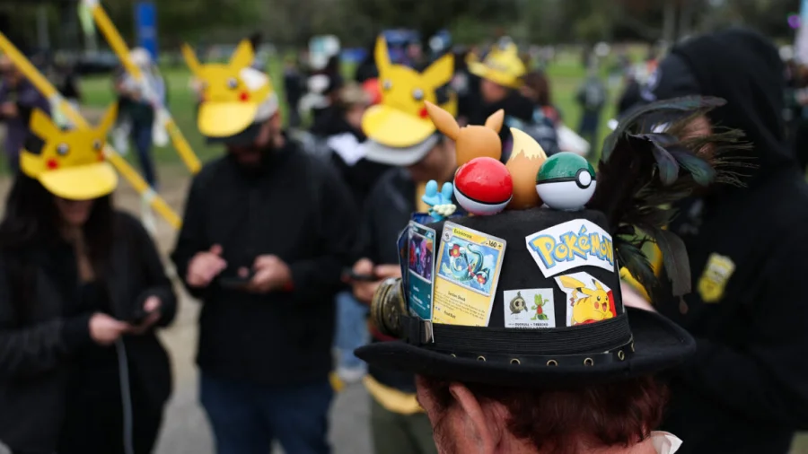
Millions of Pokémon Go players who spent years walking neighbourhoods, parks, and landmarks to catch virtual creatures may have unknowingly contributed to something far more consequential: navigation technology for military drones.
How Pokémon Go scans became drone navigation data
Niantic Spatial, an AI company spun out of Pokémon Go developer Niantic in May 2025, used billions of real-world images captured by players to train a visual navigation system called Vantor. The system was initially designed for delivery robots, but reports confirm it has been applied to military drone navigation.
Players captured short smartphone videos of physical streets, buildings, and landmarks while playing the augmented reality game. Those scans — over 30 billion of them — became the training data for an AI that can navigate environments without GPS.
Why this matters for every Pokémon Go player
The revelation raises uncomfortable questions about consent. When players agreed to Niantic’s terms of service, few likely imagined their casual gameplay data would end up powering military technology. The scans were collected under the guise of improving augmented reality experiences, not training navigation systems for drones used in conflict zones.
For Indian players, who formed a significant part of the global Pokémon Go community during the 2016 craze, the implications are personal. Your walk to the local temple, your neighbourhood park, your college campus — all potentially mapped and used for purposes you never agreed to.
The timeline: from game to military tech
Niantic launched Pokémon Go in July 2016, creating a global phenomenon. Players were incentivised to scan real-world locations to improve the game’s augmented reality features. Over years, Niantic accumulated an enormous dataset of environmental scans.
In May 2025, Niantic sold its licensed games, including Pokémon Go, to Saudi-backed publisher Scopely. The AI division was spun out as Niantic Spatial, taking the scan data with it. Niantic Spatial then developed Vantor, a visual navigation system that uses AI to recognise locations from camera images alone.
Reports from multiple outlets confirm Vantor has been applied to military drone navigation, though the exact scope of military use remains unclear.
Who is affected and what it means for privacy
The primary affected group is the estimated 500 million+ Pokémon Go players worldwide who contributed scans. But the implications extend to anyone who uses augmented reality apps or location-based services.
Privacy experts warn this case sets a precedent. If gameplay data can be repurposed for military navigation, what else might your location data be used for? The lack of explicit consent mechanisms in the original game’s terms of service is now under scrutiny.
“Players were essentially unpaid data collectors for a system they had no idea would be used in warfare,” said one privacy researcher who spoke on condition of anonymity.
Niantic and Scopely’s response — what’s been said
Niantic has not directly addressed the military drone connection. The company’s public statements before the spinout focused on using player scans to improve augmented reality and build a “spatial understanding” of the world.
Scopely, which now owns Pokémon Go, has not commented on the data usage. Niantic Spatial, as a separate entity, has not issued a statement about military applications of Vantor.
The lack of transparency has frustrated privacy advocates who argue that players deserve a clear explanation of how their data was used and what rights they have.
How Vantor works — the tech behind the controversy
Vantor is a visual navigation system that uses AI to recognise locations from camera images. Unlike GPS, which requires satellite signals, Vantor can navigate indoors, in tunnels, or in GPS-denied environments — exactly the conditions where military drones operate.
The system was trained on the billions of scans from Pokémon Go players, which provided diverse real-world environments: streets, buildings, parks, landmarks, and infrastructure. This diversity made the AI robust across different terrains and lighting conditions.
For delivery robots, Vantor offers reliable navigation without expensive sensors. For military drones, it offers navigation capabilities that cannot be jammed or spoofed like GPS.
Confirmed facts vs what remains unclear
Confirmed: Niantic Spatial used Pokémon Go player scans to train Vantor. Vantor has been applied to military drone navigation. The scans were collected under Niantic’s original terms of service. Niantic Spatial was spun out in May 2025.
Unclear: The exact extent of military drone deployment using Vantor. Whether players were explicitly informed about potential military use. What specific military contracts or partnerships exist. How Niantic Spatial’s data handling differs from Niantic’s original policies.
Speculation: Some reports suggest the data overlap with active conflict zones is minimal, but this has not been independently verified.
Why Niantic’s data moat mattered
Niantic’s unique advantage was its massive, real-world dataset. No other company had billions of geotagged, time-stamped environmental scans from millions of users across diverse global locations. This data moat — the network effect of player-contributed scans — made Niantic Spatial’s navigation technology difficult to replicate.
The company’s technology advantage came from this proprietary dataset, not from any fundamental AI breakthrough. Competitors would need years and billions of dollars to collect similar data — if users even consented.
Risks and balanced view
Critics argue this is a clear case of mission creep — data collected for entertainment being repurposed for military applications without user consent. Privacy advocates say it violates the spirit of informed consent, even if it technically complied with terms of service.
Supporters of the technology point out that Vantor could save lives by enabling drones to navigate safely in GPS-denied environments for search and rescue, disaster response, or humanitarian missions. The military application is just one use case.
However, the lack of transparency about military use undermines trust. Players who contributed scans for fun now find their data in systems they may morally oppose.
Broader trend: gamified data collection and military tech
This case is not isolated. Tech companies have long used gamification to collect user data — from Google’s reCAPTCHA training AI to Waze’s traffic data. The Pokémon Go case is notable because the data was visual and environmental, making it directly applicable to navigation.
The trend raises a fundamental question: when you play a game, are you also training the next generation of military technology? As augmented reality and spatial computing grow, the line between entertainment and surveillance will blur further.
What players and users should do now
For current Pokémon Go players: review the updated terms of service under Scopely. Understand what data is being collected and how it might be used. Consider using privacy-focused alternatives or limiting location permissions.
For all augmented reality app users: be aware that your scans, photos, and location data may have uses beyond the app’s stated purpose. Check app permissions regularly and revoke access to data you’re not comfortable sharing.
For privacy-conscious users: support legislation that requires explicit, granular consent for data collection — especially when data could be used for military or surveillance purposes.
What happens next
Privacy advocacy groups are expected to file complaints with data protection authorities in Europe and India, arguing that Niantic’s original consent mechanisms were inadequate for military data use. Legal challenges could follow if players can demonstrate harm.
Niantic Spatial may face pressure to disclose its military contracts and offer players an opt-out or data deletion option. The company’s valuation and future funding could be affected by public backlash.
Regulators in India, where digital personal data protection laws are evolving, may scrutinise whether cross-border data transfers of player scans complied with local laws.
Our Take
The Pokémon Go drone navigation story is a cautionary tale about the gap between what users think they’re consenting to and what their data is actually used for. Niantic built a remarkable dataset through an engaging game, but the company failed to anticipate — or chose not to disclose — the full range of applications for that data.
For players, the lesson is clear: your digital footprint has consequences you cannot predict. For the tech industry, the message is equally stark: transparency about data use is not optional, especially when the end application involves military technology. Trust, once broken by revelations like this, is difficult to rebuild.
Frequently Asked Questions
Did Pokémon Go players know their scans would be used for military drones?
No. Players were not explicitly informed that their scans could be used for military navigation technology. The original terms of service covered data collection for augmented reality improvements but did not specify military applications.
Can I delete my Pokémon Go scan data from Niantic Spatial?
Currently, there is no clear mechanism for players to request deletion of their scan data from Niantic Spatial. The company has not provided an opt-out process. Privacy advocates are pushing for this to change.
Is Vantor currently being used in military drones?
Reports confirm that Vantor has been applied to military drone navigation, but the exact scope of deployment is unclear. The technology is operational, but specific military contracts or missions have not been publicly detailed.
What should I do if I’m concerned about my data being used this way?
Review your app permissions, limit location data sharing, and support privacy legislation that requires explicit consent for data use beyond the original purpose. You can also contact Niantic Spatial to express concerns.